Simulation of a flood wave after a dam breach using Google maps and Blender…
…and a simulation for the same area, using the HEC – RAS modelling tool, which is freely available from the US Army Corps of Engineers (USACE)

simulation of the ground motion field for a hypothetical earthquake, in this case with the epicenter in Leesburg, VA using Open Quake engine …
… or the possible consequences as for example in structural losses, here a fictional earthquake in Calgary, Canada


using qgis to show possible inundation in an area, this example Vienna, Austria

calculating hazardous materials releases to allow for challenging exercise scenarios, the software used is ALOHA, freely available from Environmental Protection Agency (EPA)
Instructional clips and short animations
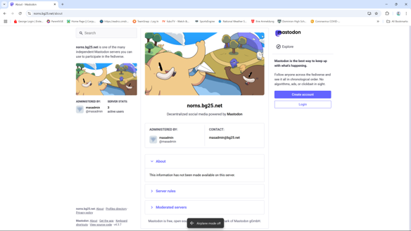
To allow social media training using “fake news” – purposely misleading information for training – a social media server can be self-hosted in a closed environment. We use Mastodon a freely available server that offers clients for PC, I-phones and android devices.
We can set up a protected fictious/training news web-server that allows to host follow up articles generated and linked to the social media posts.